Webmaps 101
-
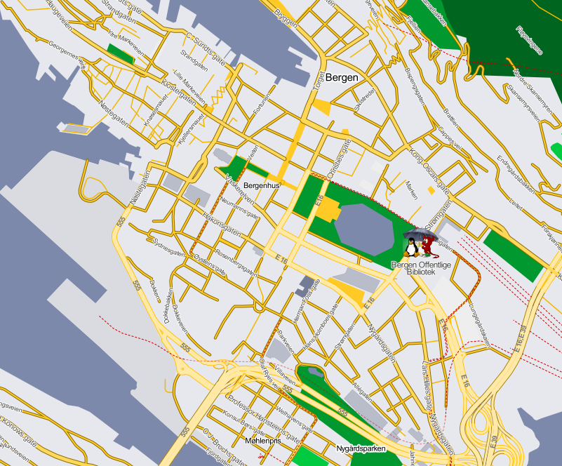
Tiles:
/16/33738/18888.png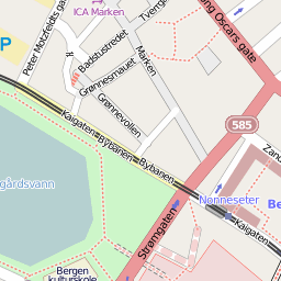
Foredrag for BLUG 2012-02-23
Knut Arne Bjørndal og Vegard Engen
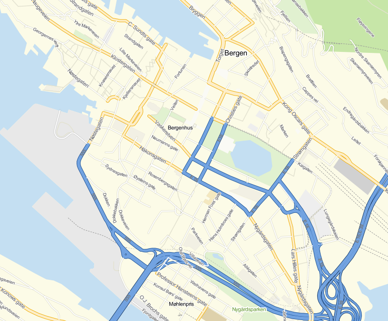
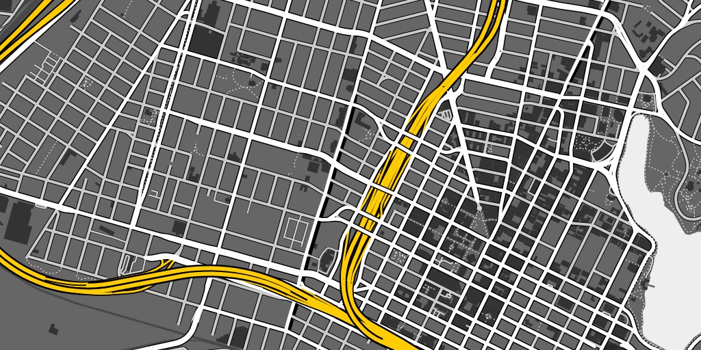
/16/33738/18888.png

@land:    lighten(#9fa4b5,25);
@water:   saturate(lighten(#5c6580,15),5);

@building: darken(@land,40);
@forest: #006520;
@cemetery: lighten(@forest,10);
@industrial: darken(@land,5);

@school: @building;
@sports: lighten(@park,10);

@motorway_line: lighten(#f2b700,25%);

@primary_line: darken(#f2b700,20%);
@primary_fill: lighten(#f2b700,20%);

@standard_line: #f2b700;
@standard_fill: lighten(@standard_line, 10%);
@standard_case: darken(@standard_line, 20%);

@pedestrian_fill: @standard_fill;

@rail_line: #cd0000;
#amenities[osm_id=29924612] {
  point-file: url(./res/blug.png);
  point-allow-overlap: true;

  /* shift text down below the icon */
  text-dy: 25;

  text-name:'[name]';
  text-face-name:@sans;
  text-placement:point;
  text-fill:rgb(68,68,68);
  text-size:12;
  text-halo-fill:#fff;
  text-halo-radius:1;
  text-wrap-width: 75;
  text-allow-overlap: true;
}
Aster er geotiffs på 1 ganger 1 grad. Smøråsen er N60E005.
Aster er i WGS84, i Tilemill må vi ha "Google-projeksjon:
gdalwarp -s_srs EPSG:4326 -t_srs EPSG:3785 -r bilinear ASTGTM2_N60E005_dem.tif warp_ASTGTM2_N60E005_dem.tif
gdal_contour -a elev -i 10 warp_ASTGTM2_N60E005_dem.tif contours
gdaldem hillshade -co compress=lzw warp_ASTGTM2_N60E005_dem.tif hill_ASTGTM2_N60E005_dem.tif
gdaldem slope -co compress=lzw warp_ASTGTM2_N60E005_dem.tif slope_ASTGTM2_N60E005_dem.tif

		gdaldem color-relief -co compress=lzw slope_ASTGTM2_N60E005_dem.tif slope-ramp.txt slopeshade_ASTGTM2_N60E005_dem.tif
gdaldem color-relief -co compress=lzw warp_ASTGTM2_N60E005_dem.tif ramp-local.txt color_ASTGTM2_N60E005_dem.tif
0 46 154 88

180 251 255 128

220 224 108 31

300 200 55 55

400 215 244 244
0 255 255 255

90 0 0 0